High-resolution orthomosaic
A complete, georeferenced image of the plot, with ground resolution matched to the crop and its growth stage.

Drone service in Mallorca
By the time you can see the problem from the tractor, you have been losing yield for weeks. From the air it shows much earlier.
Flying with multispectral sensors detects differences in vigour the human eye cannot distinguish. An index map by plot points precisely to where there is water stress, where nitrogen is lacking and where a pest focus is starting, weeks before the plant shows it visibly.
We use industry-standard workflows to generate orthomosaics, surface models and threshold-based thematic maps. The point is not the pretty map: it is the specific recommendation per sector that comes out of it.
A georeferenced orthomosaic, the season’s index maps and a report with the areas to check, prioritised. If there is monitoring over time, also the comparison between flights to measure whether what you did worked.
What is included
A complete, georeferenced image of the plot, with ground resolution matched to the crop and its growth stage.
Vegetation indices by sector to locate water stress, nutritional deficiencies and low-yield areas.
Visual and thermal patterns that flag pests and disease before the damage is irreversible.
Row-by-row analysis for tree crops: gaps, true density and condition by zone.
Monitoring over time to verify whether the decisions taken have had a measurable effect.
Maps ready to take into the field and concrete recommendations per plot, not a hundred-page PDF.
Benefits
Knowing the northern sector has 20 % less vigour changes where you irrigate and where you fertilise this very week.
Applying differentially by zone cuts consumption without touching yield. Water is not abundant in Mallorca.
What would take days on foot is covered in one flight. And covered entirely, not by sampling.
We deliver the maps and what they mean. An index without an agronomic reading is worth nothing.
Case studies
Mainly almond, olive, vine and citrus, which is what dominates in Mallorca; arable and horticultural crops on request. In terms of area we work from 2–3 hectare plots up to estates of several hundred: the per-hectare price drops notably with size, because the fixed cost of travel and planning is spread out.
It depends on the objective. For season monitoring, three to five flights at the crop's key moments: in vines, for example, budbreak, fruit set, veraison and pre-harvest. For a one-off diagnosis — an area doing badly for no clear reason — one flight is enough. The honest approach is to tell you after seeing the plot, not to sell you a twelve-flight plan.
A georeferenced orthomosaic, the index maps by sector and a short report with the areas to check, prioritised, and the recommendation for each. It comes as a navigable PDF readable on a phone and, if your adviser works with QGIS or an agronomic platform, also as GeoTIFF and shapefile for direct loading.
No. The PDF report opens on any phone or computer, and the flagged areas carry visual references to locate them in the field. The technical formats are an extra for those already using GIS tools, not a requirement.
The map tells you where to look; it does not replace agronomic judgement. Real example: a sector with 20 % less vigour usually means checking the drip irrigation in that zone, adjusting fertilisation, or an outbreak starting. We flag the prioritised areas and the pattern they suggest; the final decision is yours with your technician — and if you have none, we point you in the right direction.
Georeferenced orthomosaics are valid graphic documentation with date and coordinates, and have been used to evidence crop condition and damage. That said, every procedure has its format requirements: tell us what you need it for before the flight and we prepare it to work first time.
Sentinel-2 gives you a 10-metre pixel every few days, clouds permitting: perfect for whole-estate trends. The drone gives centimetres per pixel, on the day you choose, below the clouds: that is what lets you distinguish rows, detect gaps and locate a stress focus in its first phase. Trends with satellite, decisions with drone; they complement rather than compete.
Get a quote
Tell us where, when and what for. We will send a fixed proposal within 24 working hours.
Or work out your quote instantly
I booked a drone photo session to show my solar panel installation and could not be happier. Fast and straightforward.
More services
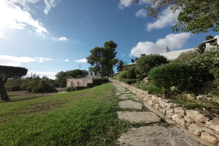
Aerial video and photography showing the whole property, its surroundings and its views. For estate agents, developers and holiday rentals.
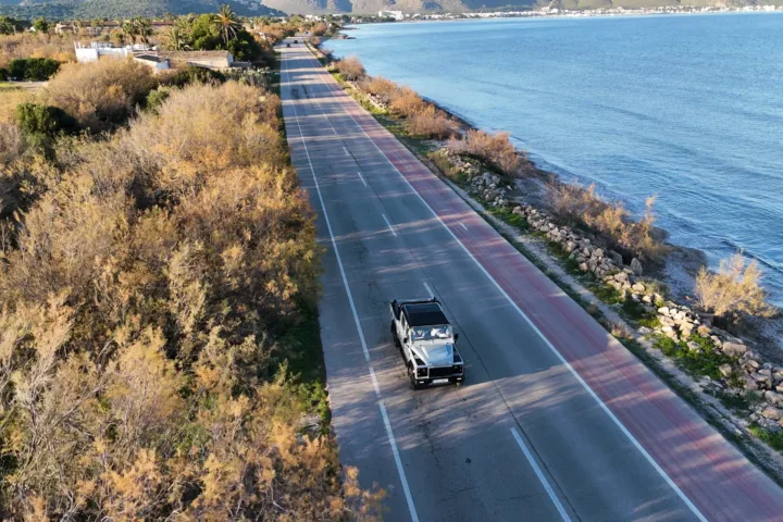
Dynamic FPV drone tracking of sporting events, training sessions and outdoor activities. Angles that are impossible with a conventional camera.
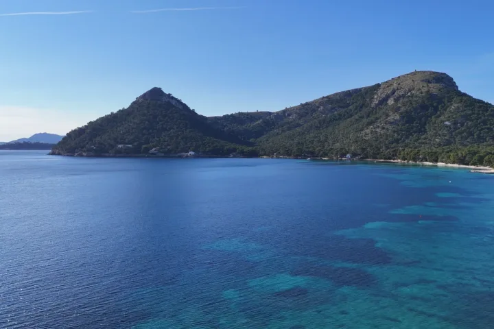
Full audiovisual production with a cinematic finish: script, aerial and ground shoot, edit and colour grade.
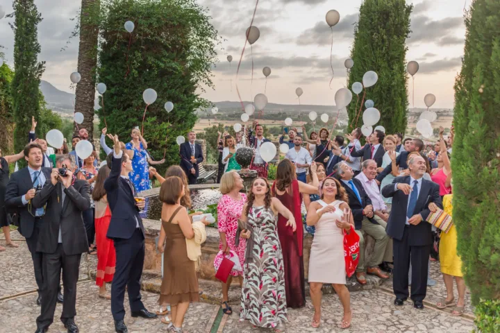
Aerial wedding coverage at fincas, beaches and hotels in Mallorca: the shots that place your day in its landscape, without the drone making itself noticed.
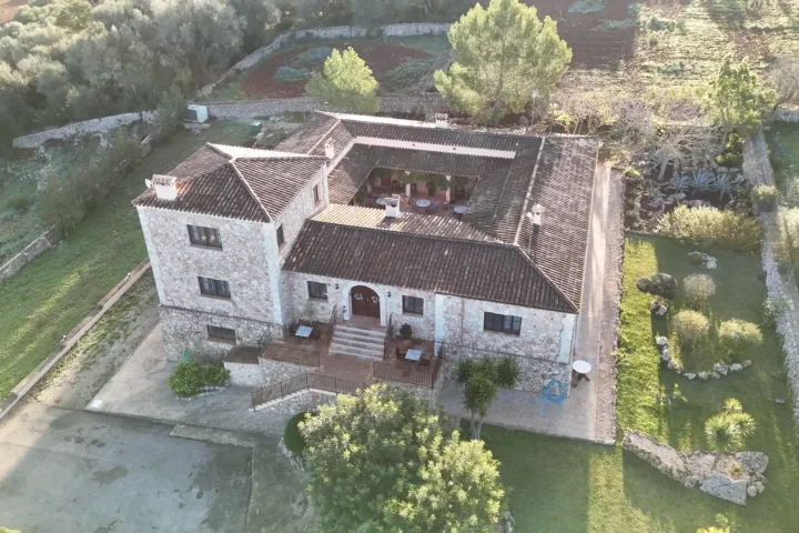
Aerial video and photography for hotels, agrotourisms and holiday rentals: the material that shows where you will wake up, not just the room.
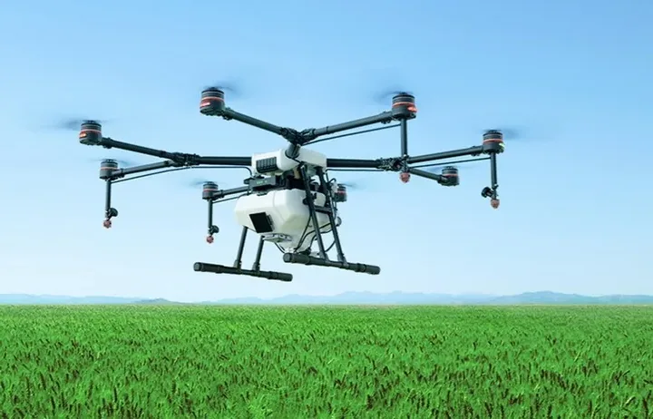
Early detection of the outbreak and targeted application only where needed: less product, lower cost and less impact.