
Drones in agriculture: from observation to decision
Drones are transforming precision agriculture by enabling data-based decisions almost in real time, saving water and improving yield per hectare.
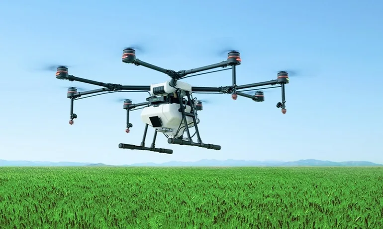
Drones have gone from technological curiosity to essential farming tool. They cut costs, improve yield per hectare and allow data-based decisions almost in real time. This article explains why, how, and the use cases already producing tangible returns.
Why now: converging technology
- More affordable sensors: high-resolution RGB, multispectral and thermal at reasonable prices.
- Mature software: stable workflows for generating orthomosaics, digital surface models and index analysis.
- Clearer regulation: European rules and standardised operational safety procedures.
- Efficient operations: batteries, automated routes and templates that cut field time per plot.
Key use cases
1. Crop monitoring at scale
High-resolution orthomosaics to identify water stress, pests and deficient areas. From those come derived indicators: vigour, coverage and change over the season.
2. Precision irrigation and variable fertilisation
Vigour-based thematic maps that allow irrigation and nutrients to be adjusted by sector. Typical savings are lower water consumption and better fertiliser efficiency.
3. Early pest and disease detection
Visual and thermal patterns allow intervention before damage is irreversible, which is exactly when intervention is cheap.
4. Plant inventory and counting
Three-dimensional models and row-by-row analysis for tree crops: gaps, true density and condition by zone.
5. Farm infrastructure inspection
Thermal imaging for irrigation systems and tanks. Visual inspection of greenhouses, fencing and tracks.
Recommended workflow
- Mission planning. Define the agronomic objective and the resolution needed. Set ground resolution and overlap. Review airspace and assess wind and light conditions.
- Flight and capture. Automated pattern at consistent altitudes, exposure control and neutral density filters where needed.
- Processing. Orthomosaic generation, contour lines and three-dimensional models where applicable. Threshold and index categorisation to produce decision maps.
- Delivery and action. Maps ready to take into the field and concrete recommendations per plot, with monitoring over time to measure the impact of decisions.
Metrics that matter
- Target ground resolution by crop and growth stage.
- Georeferencing accuracy, with ground control points where greater precision is required.
- Total time per hectare, counting planning, flight and processing.
- Effect indicators: water saved, inputs reduced, yield improved.
Safety and compliance good practice
A documented flight plan and a prior risk assessment. Respect for airspace limitations and for adjoining protected areas, which in Mallorca are frequent. A record of every operation for the field logbook.
The leap that matters
Technology is no longer the bottleneck. The real leap is moving from looking at pretty maps to changing concrete decisions: how much to irrigate in the northern sector, when to treat the outbreak at the eastern edge, whether replanting the gaps in row twelve pays. A drone service that delivers imagery without that agronomic reading is leaving half the value on the table.
Want this for your project?
We film with drones across Mallorca. Fixed quote within 24 working hours.
Keep reading
Related articles
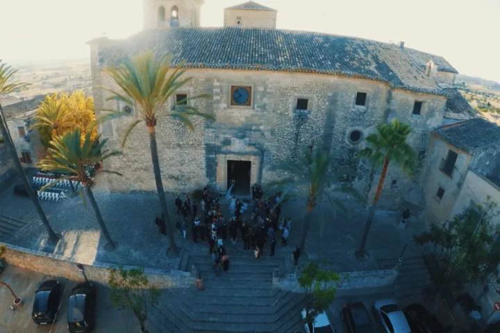
How much does a drone wedding video cost in Mallorca?
From €600 to €1,200 depending on hours covered. What each package includes, what raises the price with reason, and the uncomfortable question to ask…
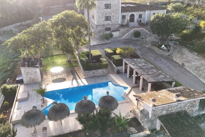
Hotel video: what to film before the season starts
The six-shot list you will amortise all year, why it gets filmed between April and June, and the realistic calendar to reach opening day…
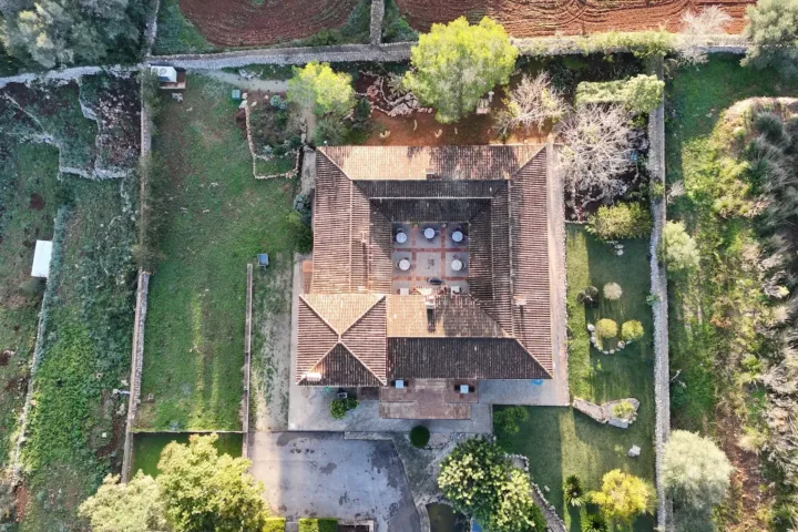
Almond blossom in Mallorca: when and where to film it by drone
The blossom lasts a few weeks and the peak barely ten days. Real dates, the island's best areas and how an aerial blossom shoot…