
Where can you fly a drone in Mallorca? Zones and restrictions
A comarca-by-comarca review of where you can fly in Mallorca, where authorisation is needed and where you simply do not fly.
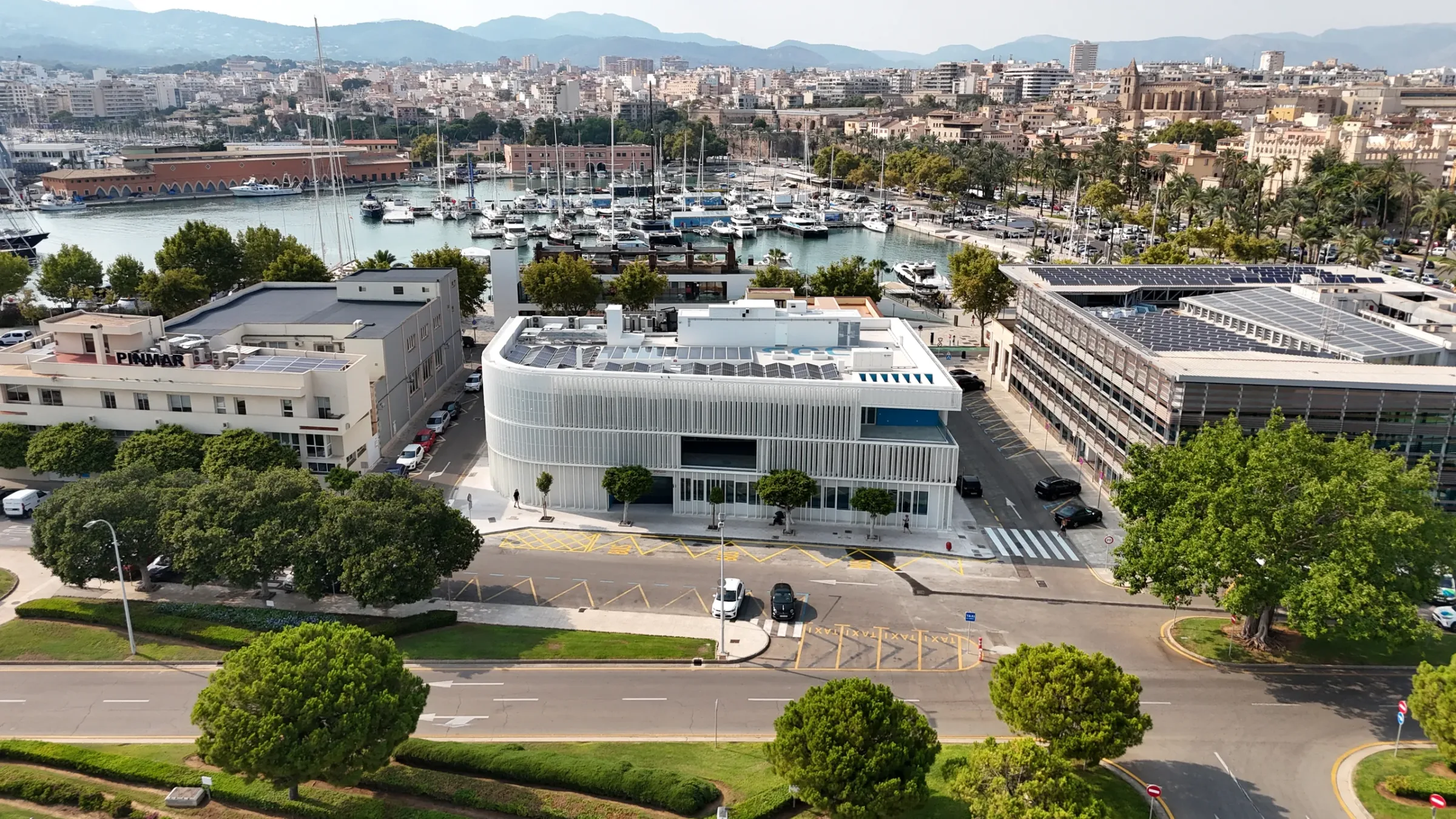
The question sounds simple and it is not. Mallorca combines the control zone of an international airport, several protected natural areas, a World Heritage mountain range and, in summer, beaches with thousands of people. Here is the practical map — drawn out, too, on our interactive flight zones map.
Note: regulations and geographical zones change. Before any flight you must consult the current official information from AESA and ENAIRE. What follows is general guidance, not an authorisation.
1. Airport control zone: Palma and the bay
This is the widest restriction on the island. It covers Palma and much of its bay, with maximum altitudes assigned by sector.
You can fly, but with prior authorisation and respecting those altitudes. The process takes days, not hours. Anyone who tells you that in Palma you just fly is not operating properly.
2. Protected natural areas
- Serra de Tramuntana. A protected natural area with bird protection zones. Stricter restrictions during the breeding season. Some very well-known spots do not permit overflight.
- S’Albufera. A natural park with bird protection. Flight heavily restricted.
- Llevant Peninsula Natural Park. Zones with limited flight, especially in spring.
- Sa Dragonera and Cabrera. Strict protection. You can film from outside, not overfly.
- Es Trenc and Mondragó. Protected areas with limitations worth checking point by point.
3. Urban areas and gatherings of people
Flying over gatherings requires a higher operational category and a risk assessment. In practice, that means overflying a packed beach in August or a square during a fiesta is not something you improvise.
Over an urban area without a gathering it is viable in many cases, with the corresponding safety distances.
4. Straightforward flying areas
Much of the interior — the Pla, the Llevant, the Migjorn — and many stretches of coast outside high season allow flying with minimal paperwork. That is where a shoot is organised quickly and comes out cheaper.
Comarca by comarca, in one line
- Palma: authorisation mandatory, altitudes limited.
- Calvià and Andratx: partly in the control zone; the rest straightforward, with care around Sa Dragonera.
- Serra de Tramuntana: spectacular and restricted in equal measure. Check point by point.
- North (Alcúdia, Pollença): comfortable, except s’Albufera and the port area.
- Llevant (Manacor, Artà, Capdepera): straightforward, with care in the natural park.
- Pla and Migjorn: the freest area on the island.
The four rules that never fail
- Check the airspace before every flight, not once a year. Zones change and there are temporary restrictions.
- Keep the aircraft in sight. It sounds basic and it is the most common breach.
- Do not overfly people uninvolved in the operation without the right category and measures.
- Document the flight. Plan, risk assessment and record. If something happens, that is the difference between an incident and a serious problem.
And if it is for a professional job
All of the above is preparatory work the supplier should be doing, not the client. When you commission an aerial shoot, permit management, risk assessment and insurance are part of the service. If they do not appear in the quote, ask why.
Want this for your project?
We film with drones across Mallorca. Fixed quote within 24 working hours.
Keep reading
Related articles
Filming your finca by drone: which permits the owner needs (and which they don’t)
Almost everything aeronautical is handled by the operator, not the estate owner. This guide separates what belongs to each side, neighbours and data protection…
Drone filming in Mallorca: the complete guide
What you need in order to film with a drone in Mallorca, where you can and cannot fly, what it costs and what an…
How much does a drone wedding video cost in Mallorca?
From €600 to €1,200 depending on hours covered. What each package includes, what raises the price with reason, and the uncomfortable question to ask…